
Moxie Falls, Maine: Trail, Directions & Visiting Tips
Plan the Moxie Falls hike near The Forks: a two-mile round trip, trailhead directions, stairs and viewing platforms, plus preparation and safety tips.
Updated
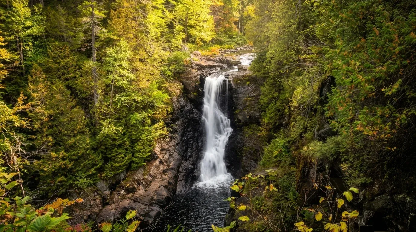
Moxie Falls is a waterfall hike near The Forks in Moxie Gore. Maine’s tourism office describes a two-mile round trip that begins flat but is rated intermediate. Plan for more than a level stroll: the approach includes stairs and uneven ground.
Moxie Falls at a Glance
The Bureau of Parks and Lands trail listing describes a drop of nearly 90 feet, no entry fee, and an out-and-back trail. Camping at the falls is not allowed.
Use the trail map and manager information to check access before leaving. This page is a planning guide, not a report of today’s trail conditions.
Trailhead Directions
Traveling north on US 201 into The Forks, turn right onto Moxie Pond Road before the Kennebec River bridge. Some maps call it Lake Moxie Road. Follow the paved road approximately 2.3 miles to the trailhead on the left, according to the trail manager’s directions.
Save the map before setting out. If the lot is full, choose another hike rather than creating an informal parking space.
What the Trail Is Like
The first half follows a broad forest path. Around the half-mile mark, a woods-road crossing and welcome sign mark a suggested turnaround for strollers and wheeled mobility equipment. Beyond that, stairs and boardwalks lead toward several observation platforms. Return the way you came.
If stairs are a concern, discuss your access needs with the manager before planning the full walk. The easier beginning should not be taken as a promise that the entire route will suit your group.
Viewing the Falls Safely
Use the established viewing areas and stay back from exposed edges. Wear footwear with grip, take your time on wet surfaces, and keep children close. Turn around if footing or weather makes the outing unsuitable.
Plan this as a viewing hike, not a swimming excursion. The manager’s listing calls for caution around the water; check posted guidance and current conditions rather than treating access to a pool as a safety assurance.
What to Bring
- A saved trail map and directions.
- Water, a snack, and clothing suited to the forecast.
- Walking shoes with reliable grip.
- A charged phone; share your route and return plan with someone.
- A bag for carrying your litter back out.
Leave flexibility in your itinerary. A stop for photographs, a slower walker, or a change in weather can affect your day; do not build the hike around an exact return time.
Planning the Rest of Your Trip
Compare other destinations in our Maine waterfall guide or explore the Kennebec Valley. For a broader trip-planning overview, see hiking in Maine. Check each destination separately: difficulty, access, and water conditions are not interchangeable between waterfalls.