
Buckfield, Maine
Hills, hamlets, and the Nezinscot River
Overview
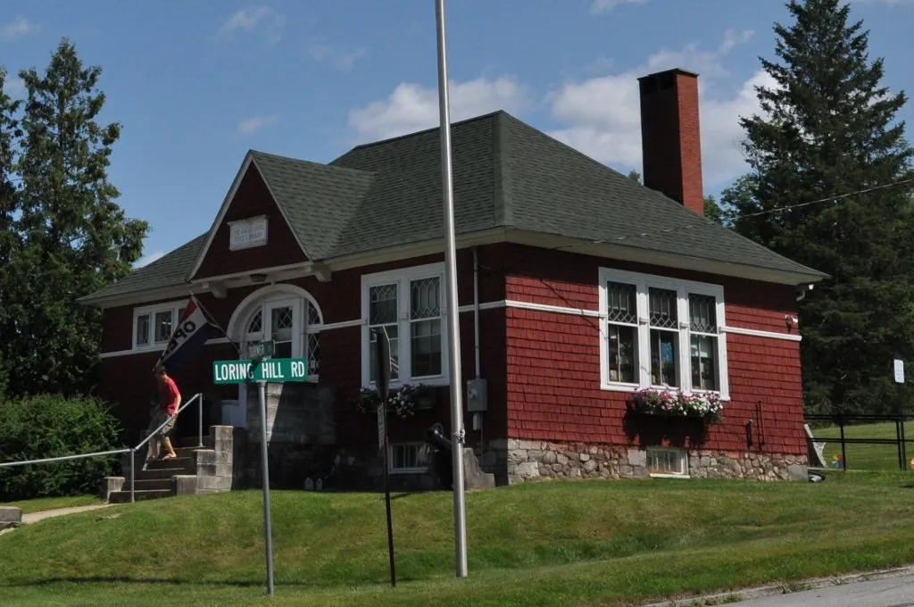
Buckfield occupies the rolling terrain of Oxford County’s western foothills, this community of about 2,000 residents maintaining the village charm and agricultural landscape that characterize Maine’s inland communities. The town centers on a compact downtown where historic buildings surround the village green, the New England pattern that demonstrates community planning principles previous generations valued.
The Nezinscot River flows through Buckfield, the waterway providing the corridor that early settlement followed and modern recreation continues to use. Canoeists and kayakers find quiet stretches suitable for paddling when water levels cooperate, while anglers work the pools and riffles where trout and bass hold. The river’s presence adds the water access that landlocked communities appreciate.
The village green anchors Buckfield’s downtown, the common surrounded by churches, municipal buildings, and the small businesses that serve local needs. This traditional arrangement creates the walkable center that newer developments struggle to replicate, the village pattern providing both civic space and community identity that sprawling commercial strips cannot match.
Scenic backroads radiate from Buckfield toward Turner, Paris, and Hebron, the routes climbing hills that provide views across the western foothills toward the higher peaks around Bethel. These drives reward autumn visitors with foliage displays while serving year-round residents traveling between communities.
Conservation lands near Buckfield provide the informal trail access that outdoor enthusiasts appreciate, the preserved parcels supporting hiking, hunting, and nature observation without the development pressure that threatens similar lands closer to population centers.
The position between Lewiston-Auburn and Bethel makes Buckfield practical for commuters seeking rural affordability while keeping employment options within reach. Route 117 provides the primary north-south connection, while Route 140 links toward Canton and Hartford.
Lewiston-Auburn offers expanded shopping, healthcare, and employment about 25 minutes east, while Bethel provides mountain recreation access about 30 minutes northwest.
For those seeking village character, river access, and foothills scenery within commuting distance of regional services, Buckfield offers the Oxford County living that balances rural appeal with practical connectivity.
Key Facts
What Buckfield Is Known For
Buckfield Local Highlights
Things to Do
Living in Buckfield
Buckfield offers rural affordability with commuting options to Lewiston-Auburn. Residents value land, quiet roads, and foothills scenery.
Weather & Seasons
summer
Warm, 70-82 F
winter
Cold and snowy, 8-26 F
spring
Cool and muddy, 38-55 F
fall
Crisp, 45-60 F with strong foliage on ridges
How to Get There
Located on Route 117 north of Turner and south of Paris; Route 140 connects to Canton and Hartford.
Satellite preview shows the approximate town outline to help you get oriented before you arrive.
Satellite preview
Buckfield outline
Outdoor Recreation
Frequently Asked Questions
What is Buckfield known for?
Buckfield is known for its charming village green with historic buildings and its position on the Nezinscot River. The town offers rolling hills, scenic backroads, and serves as a convenient base between Lewiston-Auburn and the mountains around Bethel.
How far is Buckfield from Lewiston?
Buckfield is about 25 minutes north of Lewiston via Route 117. The town offers rural affordability while keeping commuting options to Lewiston-Auburn employment centers.
What outdoor activities are available in Buckfield?
Buckfield offers paddling and fishing on the Nezinscot River, hiking on nearby conservation lands, snowmobiling on connected trail systems, and scenic drives through the foothills toward Paris, Hebron, and Bethel.