
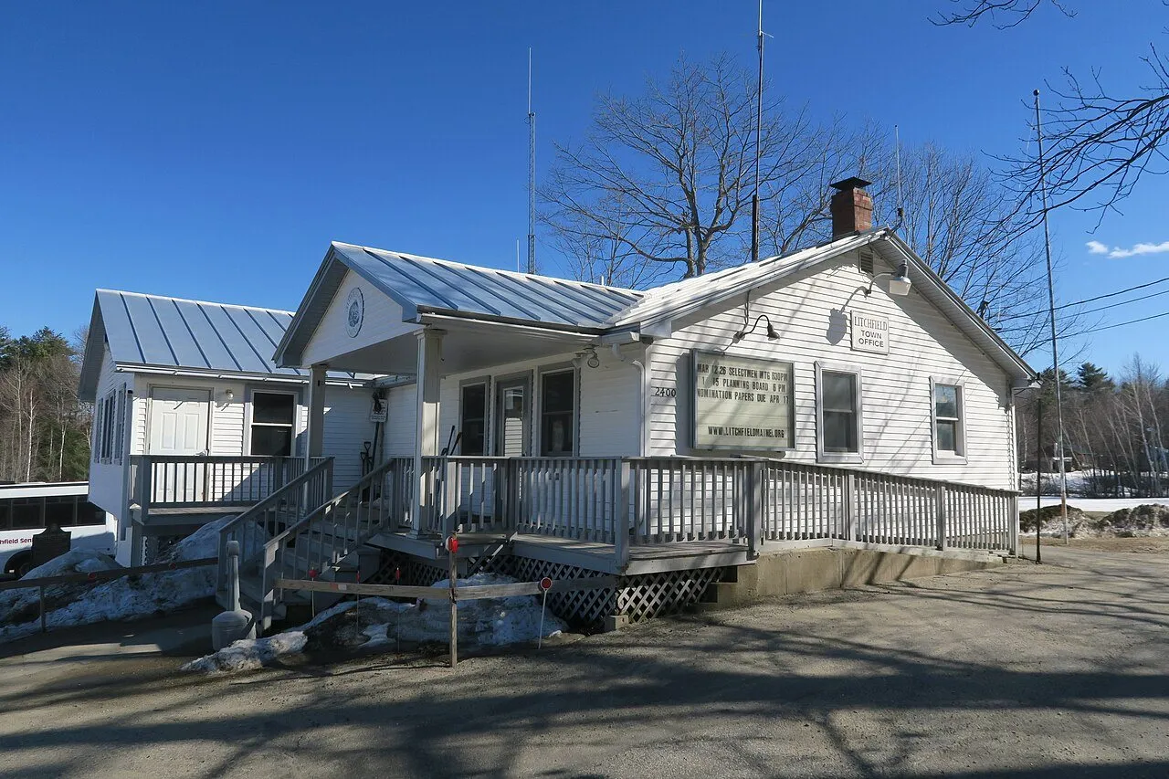
Litchfield, Maine
Lakes and farms between Augusta and Lewiston
Overview
Litchfield wraps around the Tacoma Lakes in central Kennebec County where a connected chain of ponds creates the water recreation that defines this community’s appeal. About 3,600 residents call this rural town home, enjoying lake access and farm country while commuting to Augusta, Lewiston, and other employment centers along the I-95 corridor.
The Tacoma Lakes chain includes Sand Pond, Woodbury Pond, Carlton Pond, and Pleasant Pond, their connected waters providing extensive territory for boating, fishing, and paddling. Bass thrive in the shallow coves and weedbeds, attracting anglers who appreciate the warmwater fishery. Summer brings pontoon boats, kayaks, and canoes to explore the chain, while winter opens ice fishing opportunities on the frozen surfaces.
Camp culture shapes the Tacoma Lakes community, with seasonal cottages and year-round homes lining the shoreline and creating the lake neighborhood atmosphere that many seek. The connection between ponds allows exploration without trailering, enabling day-long adventures across the full extent of the chain. This interconnected character distinguishes Tacoma Lakes from isolated ponds.
The rural landscape beyond the lakes preserves agricultural heritage through working farms and open fields that provide scenic variety. Rolling terrain creates visual interest, with wooded hills alternating with cleared farmland. Town forest trails offer hiking and mountain biking through the varied landscape, while quiet backroads attract cyclists seeking low-traffic routes.
The Androscoggin River flows nearby, adding additional water recreation to the area’s offerings. Paddlers can access the river for experiences distinct from lake paddling, while the corridor provides wildlife habitat and scenic value.
Augusta lies about twenty-five minutes away, providing state government employment and the capital city’s services. Lewiston-Auburn offers manufacturing, retail, and healthcare employment at similar distance to the west. This central position between Maine’s two largest metropolitan areas outside Portland makes Litchfield practical for commuters with varied work destinations.
Interstate 295 at Exit 49 in West Gardiner provides the nearest highway access, while Route 126 serves as the primary surface connection to surrounding communities. Gardiner and Sabattus share borders with Litchfield, creating a cluster of communities with varied character and services.
For those seeking connected lake recreation, bass fishing, and rural living between Augusta and Lewiston, Litchfield offers Kennebec County lake country with exceptional commuter access.
Key Facts
What Litchfield Is Known For
Litchfield Local Highlights
Things to Do
Living in Litchfield
Litchfield offers lakefront neighborhoods and farmland homesteads. Residents commute to nearby cities for work, shopping, and schools.
Weather & Seasons
summer
Warm, 65-85 F
winter
Cold, 10-30 F with snow
spring
Cool and muddy, 40-60 F
fall
Crisp, 45-60 F with foliage over the lakes
How to Get There
Access town centers from Routes 126 and 197; I-295 Exit 49 in West Gardiner is the closest interstate ramp.
Satellite preview shows the approximate town outline to help you get oriented before you arrive.
Satellite preview
Litchfield outline
Outdoor Recreation
Frequently Asked Questions
What is Litchfield known for?
Litchfield is known for the Tacoma Lakes chain (Sand, Woodbury, Carlton, Pleasant Ponds), which attracts anglers, paddlers, and camp owners. The rural Kennebec County town offers rolling farmland with easy access to I-95.
How far is Litchfield from Augusta and Lewiston?
Litchfield is about 25 minutes from Augusta and a similar distance from Lewiston. Route 126 and I-295 (Exit 49 in West Gardiner) provide quick routes to nearby job centers.
What outdoor activities are available in Litchfield?
Litchfield offers boating and bass fishing on the Tacoma Lakes chain with local launches, cycling and driving scenic backroads between farms and lake views, and snowmobiling on local trail networks in winter.